Vision-based autonomy
Onboard intelligence
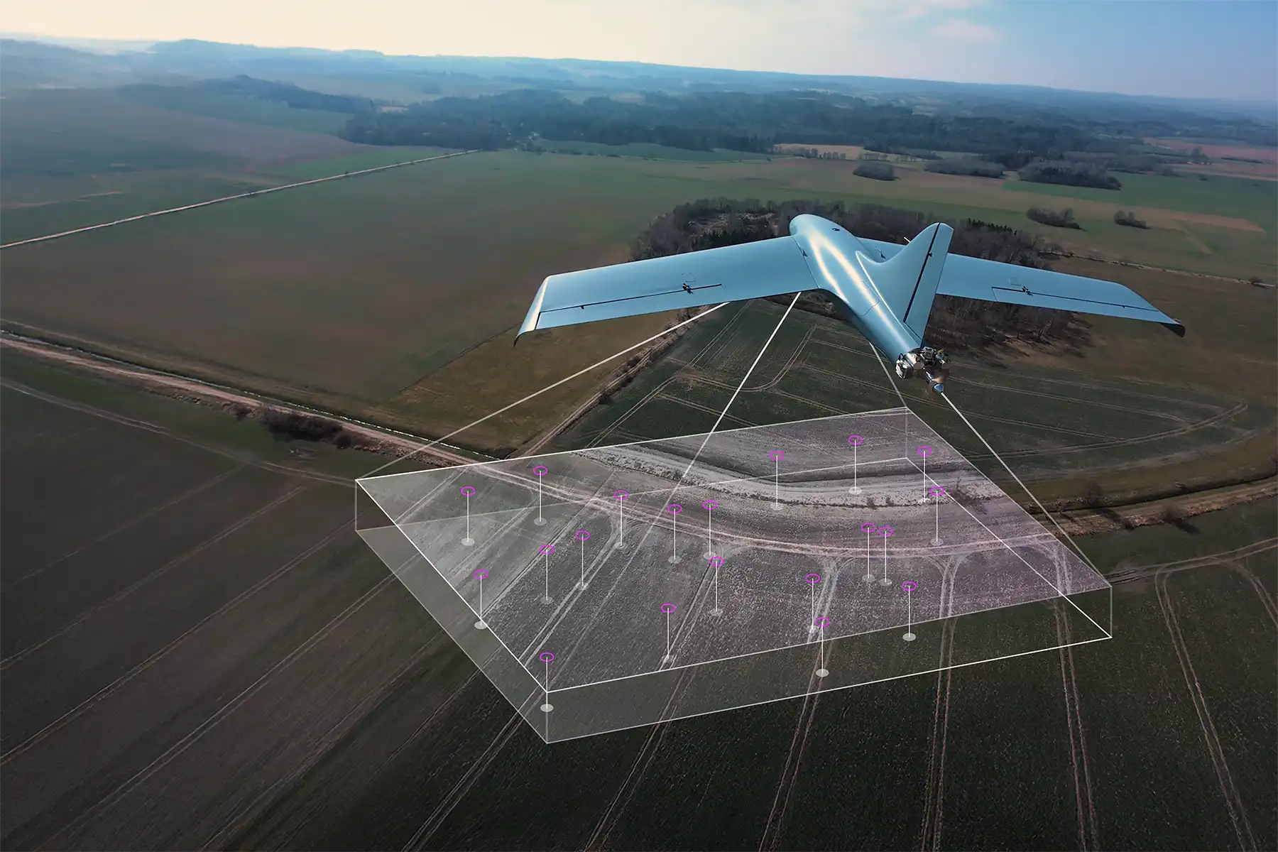
Visual navigation is a key component of the MTS. It feeds the autopilot positioning data based solely on sensors output fusion. The navigation system corrects for drift and uses a Kalman filter for increased positioning precision.
Unaffected by GPS jamming and spoofing
Full autonomy from launch to target neutralisation
Entirely onboard, no external signals involved
Utilises optical tracking for terminal guidance
Configurable from the Ground Control Station

Components
What Drives the System
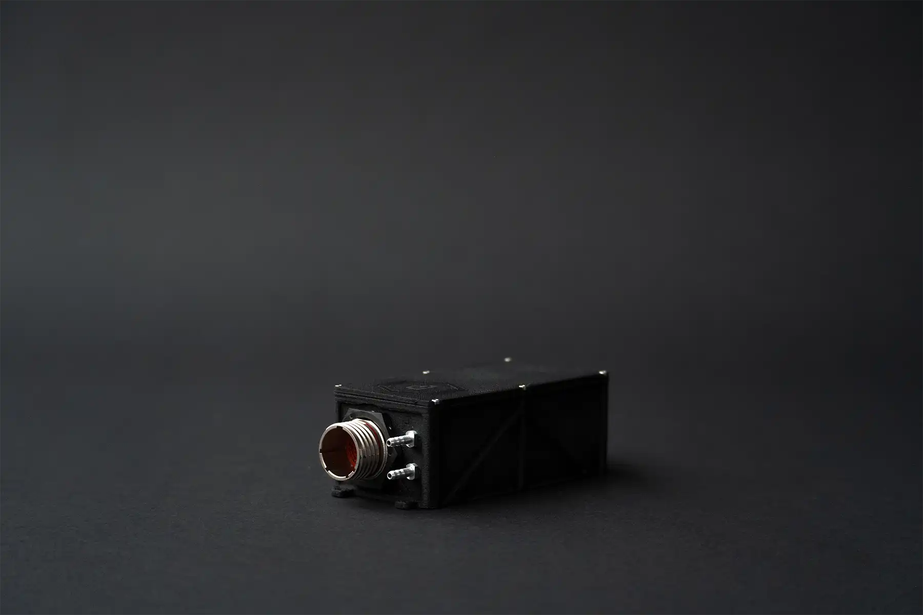
Navigation
Component
All navigation components are onboard and offline. The Visual Navigation system fuzes multiple sensor data and controls the UAV.
Autopilot
Component
Data from the GCS is processed by the autopilot, which interconnects avionics and navigation cues.
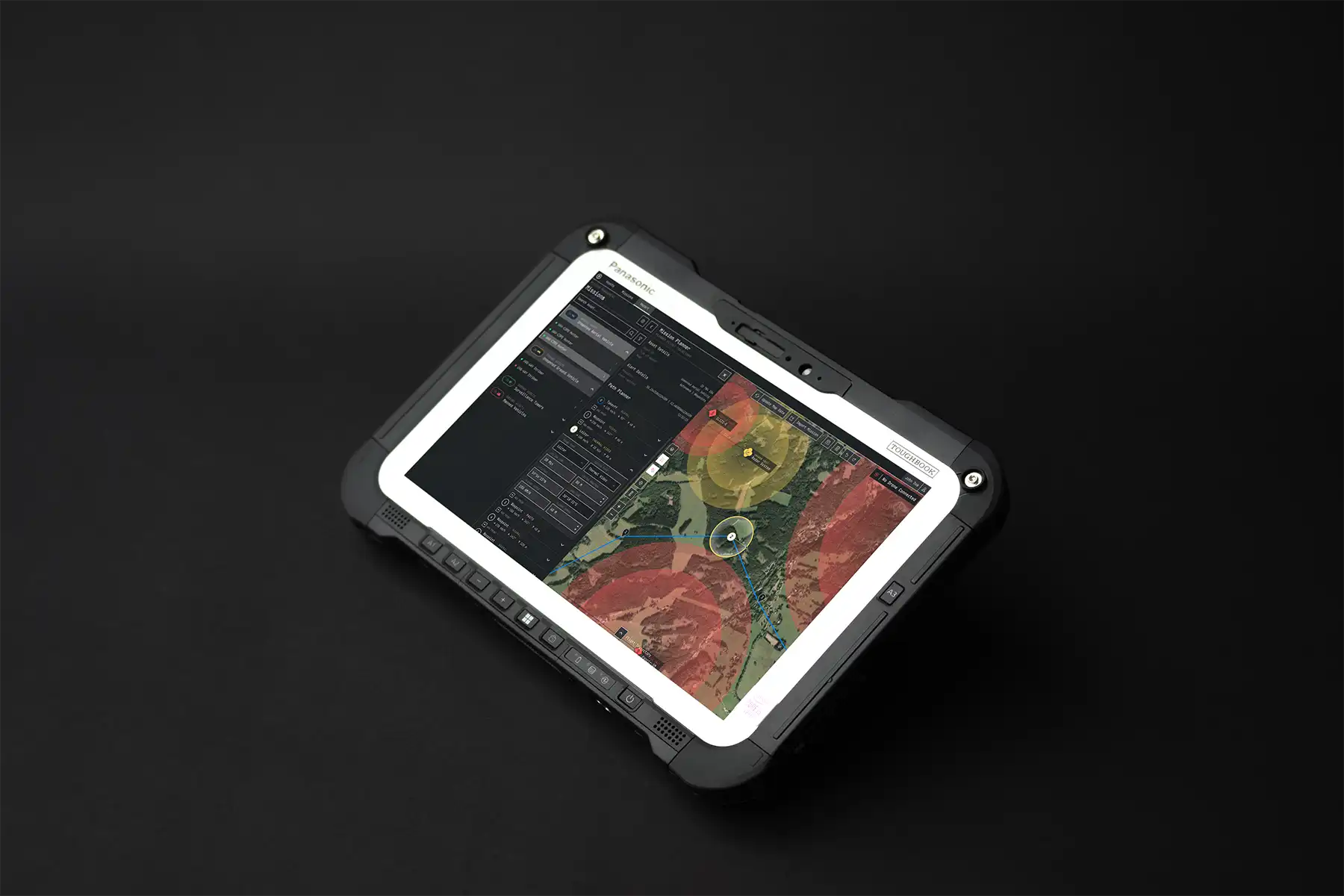
GCS
Component
Ground Control Station runs the mission planning software. Its intuitive user interface allows operators to manage flight plans and specify targets.

Warhead
Component
Operators can select the payload to fit the mission profile. The variants include HEAT, HE-FRAG, and AT-TBFRAG warheads, ranging from 0.8 to 12 kg.
UAV configurations
autonomy that scales
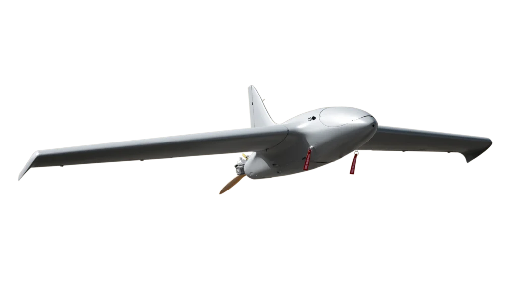
MTS-5E
one-way attack
mtow
5,5 kg
payload
up to 2 kg
range
40 km
speed
160 km/h
wingspan
1670 mm
propulsion
Electric
MTS-25C
one-way attack
mtow
25 kg
payload
up to 6 kg
range
450 km
speed
200 km/h
wingspan
3320 mm
propulsion
Combustion
MTS-40C
one-way attack
mtow
40 kg
payload
up to 12 kg
range
650 km
speed
230 km/h
wingspan
3320 mm
propulsion
Combustion
Contact us
Get in touch
Interested in finding out more details? Do not hesitate to contact us at info@lpp-holding.com or +420 605 295 772.